


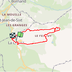


8 km | 11,6 km-effort

Gebruiker


Gratisgps-wandelapplicatie
 SityTrail
IGN / Geografische instituten
SityTrail World
De wereld gaat voor u open
Tocht Stappen van 15 km beschikbaar op Auvergne-Rhône-Alpes, Haute-Savoie, La Clusaz. Deze tocht wordt voorgesteld door GerardBouche.
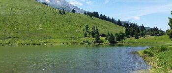
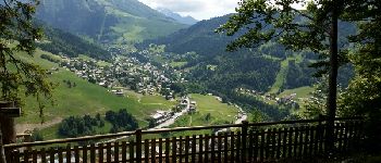
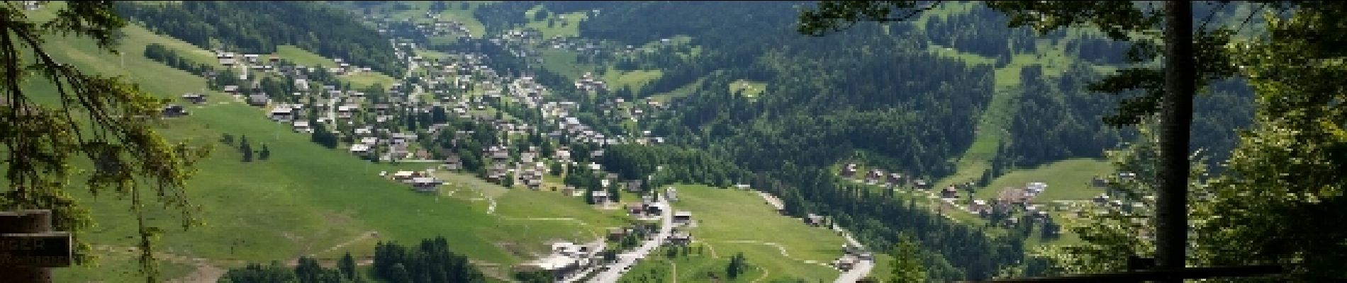
Superbe rando vers le lac des Confins par le bois de la Motte ... tour du lac et restauration au "Chalet ". Retour par les Frasses, les Mouilles de la Perrière et le pt de vue du Belvédère.
 - Photo 1")
 - Photo 2")
 - Photo 3")
 - Photo 4")
 - Photo 5")
 - Photo 6")
 - Photo 7")

Sneeuwschoenen

Stappen

Mountainbike

Mountainbike

Mountainbike

Stappen

Mountainbike

Sneeuwschoenen

Stappen